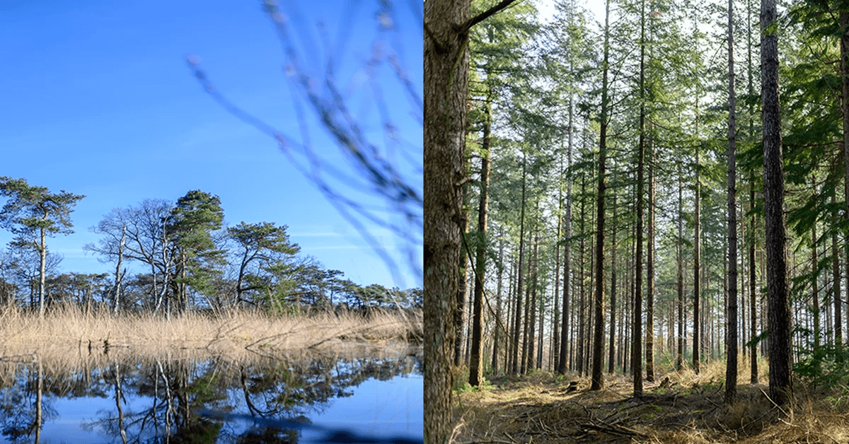
Environmental organizations
Public participation in conservation and sustainability projects
For environmental organizations, engaging the public is essential for support and impact. MapTalk enables you to involve citizens at scale in conservation and sustainability projects, with clear reporting and insight into results.
Citizens can indicate valuable nature areas and concerns; you collect ideas for sustainable solutions and strengthen support for your projects.
Trusted by


Why do environmental organizations choose MapTalk?
Broad reach and structured input make your projects stronger. MapTalk helps you organize public participation that is measurable and leads to concrete action.
How MapTalk helps
Identify nature areas
Citizens can indicate valuable nature areas and share concerns about environmental impact.
Public engagement
Involve citizens at scale in conservation and sustainability projects.
Sustainable solutions
Collect ideas from citizens for sustainable solutions and conservation.
Ready to get started?
Discover how MapTalk can strengthen your participation in nature and sustainability.
Get in touchHow it works
Collect feedback in five simple steps
Start your participation project and gather valuable input in five simple steps—quick to set up and ready to use in your project right away. No long implementation projects: a practical approach so you can run participation within days to weeks.

Bring your project information together
Lay the foundation for your participation by defining purpose, setup and content. That makes it clear to participants what they can contribute on.
- Define your goal and what input you want to collect
- Choose how your participation and questionnaire are structured, including suitable question types
- Add maps, imagery or models for context (2D or 3D)

Define your audience and invite them
Identify the right people and invite them to contribute, share ideas or respond—in line with your topic.
- Invite participants via email, QR codes or open links
- Share your participation through social media or your website
- Send automatic reminders and follow-ups


Collect feedback
Once your participation is live, participants can respond online, contribute and share input. All responses arrive immediately and are available right away for analysis and follow-up.
- Let participants respond, choose or mark the map themselves
- Gather all input in one place
- All input is collected in real time and visible immediately
- Use the management portal to analyse results or publish as MapTour, slideshow or dashboard

Engage participants during meetings
Strengthen your participation with an in-person meeting. With the MapTalk table you use the same MapTalk environment as online: to present plans, explore the project area together and collect feedback directly—and reach audiences who are less digitally confident too.
- Use the MapTalk table with a large touchscreen for group sessions
- Present plans and designs on maps or in a 3D environment
- Explore the project area together and discuss ideas and options
- Let participants give feedback directly through the same questions and maps as online

Analyze and use the results
Review all responses in one overview and turn them into clear insights. By actively using feedback in your project and decisions, you show that input matters and build support.
- View results as a map, summary or dashboard
- Gain insight into trends, patterns and preferences
- Create analyses and reports with ease
- Export results to Excel, CSV or GIS formats
Benefits for your organization
More support for conservation
Better-informed decisions
Broad public reach
More effective projects
Experiences
What our customers say
Discover how MapTalk helps organizations take their participation projects to the next level


In our Nature Network Netherlands project, stakeholders respond to the exact location instead of a picture; the province found our transparent working method a big plus.


Contact
Request a demo
Interested in MapTalk? Fill in the form for more information, or schedule a demo directly with Egbert.
Get started quickly
MapTalk is an online platform that is immediately available. After a short introduction, you can start your first participation project right away.
Support & Setup
We provide comprehensive support and setup to help you get the most out of MapTalk. From initial onboarding to ongoing guidance.

Direct contact
Frequently Asked Questions
Here you will find answers to the most frequently asked questions about MapTalk
Still have questions?
Contact us via the contact form, call or send an email. We're happy to help!
Also of interest
MapTalk is developed by MapGear B.V., specialist in interactive visualization, GIS and participation tools. Also discover our mapping platforms and the MapTalk table.

MapTalk Table
In-person participation with the MapTalk table
Use MapTalk on a large touchscreen table during consultation evenings, trade shows and presentations. Make participation visual and interactive.
Discover the MapTalk table
